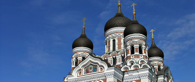
Welcome

  • The Baltics in Europe (map)
  • Estonia
    Tallin
  • Latvia
    Riga
  • Lithuania
    Vilnius

Estonia

Map of Estonia
CapitalTallin
Area45,100 km²
Population1,330,000

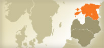
Estonia has land borders to the south with fellow Baltic state Latvia and Russia to the east. It is separated from Finland in the north by the narrow Gulf of Finland and from Sweden in the west by the Baltic Sea.

Latvia

Map of Latvia
CapitalRiga
Area64,589 km²
Population2,385,231

Situated in northeastern Europe with a coastline along the Baltic Sea, Latvia is geographically the middle of the three former Soviet Baltic.

Lithuania

Map of Lithuania
CapitalVilnius
Area65,300 km²
Population3,392,000

Lithuania is largest of the three Baltic States situated along the Baltic Sea, it shares borders with Latvia to the north, Belarus to the southeast, Poland and Russia to the southwest.